
Vernon topographic map
Interactive map
Click on the map to display elevation.
About this map
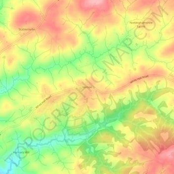
Name: Vernon topographic map, elevation, terrain.
Location: Vernon, Baltimore County, Maryland, 21161, USA (39.61733 -76.61775 39.65733 -76.57775)
Average elevation: 169 m
Minimum elevation: 98 m
Maximum elevation: 224 m