
Make a donation
Betpak-Dala topographic map
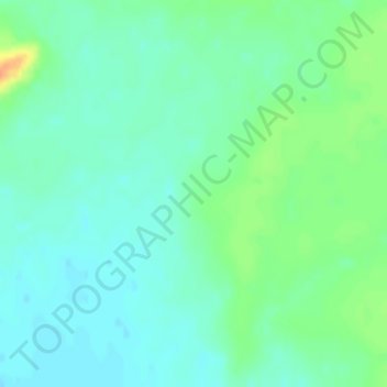
Click on the map to display elevation.
Make a donation
Betpak-Dala
The Betpak-Dala is located between the lower reaches of the Sarysu River, the Chu River, and Lake Balkhash. In the north, near the 46°30’ parallel, Betpak-Dala borders on the Kazakh Uplands, an area of low, rounded, isolated hills. Its area is approximately 75,000 square kilometres (29,000 sq mi). To the southwest lies the Ashchykol Depression. The desert is a flat, gently rolling plain with an elevation ranging from 300 metres (980 ft) to 350 metres (1,150 ft) and a general south-western incline. Elevations are greatest in the east. In the southeast, the Zheltau highland reaches an elevation of 599 metres (1,965 ft) at Mount Suykadyr (Суықадыр) and of 972 metres (3,189 ft) at Mount Kyzylbelen (Кызылбелен).
Make a donation
About this map
Name: Betpak-Dala topographic map, elevation, terrain.
Location: Betpak-Dala, Janaarqa District, Ulytau Region, Kazakhstan (46.03322 70.19999 46.03332 70.20009)
Average elevation: 331 m
Minimum elevation: 320 m
Maximum elevation: 358 m
Make a donation