
Springen topographic map
Interactive map
Click on the map to display elevation.
About this map
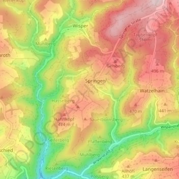
Name: Springen topographic map, elevation, terrain.
Location: Springen, Heidenrod, Rheingau-Taunus-Kreis, Hessen, Deutschland (50.11779 7.96226 50.16307 8.00639)
Average elevation: 410 m
Minimum elevation: 244 m
Maximum elevation: 547 m