
Faith topographic map
Interactive map
Click on the map to display elevation.
About this map
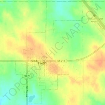
Name: Faith topographic map, elevation, terrain.
Location: Faith, Meade County, Dakota du Sud, États-Unis d'Amérique (45.01211 -102.04926 45.03855 -102.02470)
Average elevation: 781 m
Minimum elevation: 759 m
Maximum elevation: 798 m