
Agastmuni topographic map
Interactive map
Click on the map to display elevation.
About this map
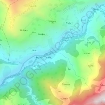
Name: Agastmuni topographic map, elevation, terrain.
Location: Agastmuni, Rudraprayag, Uttarakhand, India (30.37368 79.01015 30.41368 79.05015)
Average elevation: 1,148 m
Minimum elevation: 748 m
Maximum elevation: 2,070 m