
Thank you for supporting this site ❤️
Make a donation
Make a donation
Rogla topographic map
Click on the map to display elevation.
Thank you for supporting this site ❤️
Make a donation
Make a donation
Rogla
Rogla was attested in written sources in 1763–87 as Vitenska Planina and Wittenska Planina. The Slovene name Rogla is derived from the Slovene common noun rogla 'forked tree-covered mountain ridge', referring to the local topography.
Thank you for supporting this site ❤️
Make a donation
Make a donation
About this map
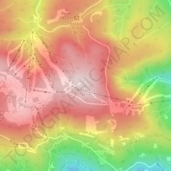
Name: Rogla topographic map, elevation, terrain.
Location: Rogla, Slovenska Bistrica, Slovenia (46.45644 15.34590 46.45654 15.34600)
Average elevation: 1,366 m
Minimum elevation: 1,123 m
Maximum elevation: 1,512 m
Thank you for supporting this site ❤️
Make a donation
Make a donation