
Thank you for supporting this site ❤️
Make a donation
Make a donation
Botijas topographic map
Click on the map to display elevation.
Thank you for supporting this site ❤️
Make a donation
Make a donation
About this map
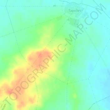
Name: Botijas topographic map, elevation, terrain.
Location: Botijas, Tapioles, Zamora, Castile and León, 49129, Spain (41.83603 -5.51268 41.85603 -5.49268)
Average elevation: 697 m
Minimum elevation: 681 m
Maximum elevation: 722 m
Thank you for supporting this site ❤️
Make a donation
Make a donation