
Thank you for supporting this site ❤️
Make a donation
Make a donation
Rondorf topographic map
Click on the map to display elevation.
Thank you for supporting this site ❤️
Make a donation
Make a donation
Rondorf
Zu Rondorf gehören ebenfalls die Dörfer Hochkirchen, Höningen, Konraderhöhe und ein Teil von Giesdorf (Giesdorfer Höfe).
Thank you for supporting this site ❤️
Make a donation
Make a donation
About this map
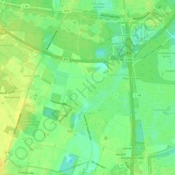
Name: Rondorf topographic map, elevation, terrain.
Average elevation: 52 m
Minimum elevation: 40 m
Maximum elevation: 63 m
Thank you for supporting this site ❤️
Make a donation
Make a donation
Other topographic maps
Click on a map to view its topography, its elevation and its terrain.