
Seceda topographic map
Interactive map
Click on the map to display elevation.
About this map
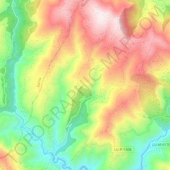
Name: Seceda topographic map, elevation, terrain.
Location: Seceda, Folgoso do Courel, Quiroga, Galicië, Spanje (42.59930 -7.25805 42.65868 -7.19025)
Average elevation: 911 m
Minimum elevation: 459 m
Maximum elevation: 1,449 m