
Thank you for supporting this site ❤️
Make a donation
Make a donation
Hilversumse Meent topographic map
Click on the map to display elevation.
Thank you for supporting this site ❤️
Make a donation
Make a donation
About this map
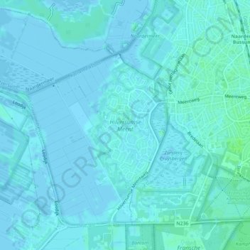
Name: Hilversumse Meent topographic map, elevation, terrain.
Location: Hilversumse Meent, Hilversum, Noord-Holland, Nederland (52.26420 5.13200 52.27650 5.14207)
Average elevation: 2 m
Minimum elevation: -4 m
Maximum elevation: 7 m
Thank you for supporting this site ❤️
Make a donation
Make a donation
Other topographic maps
Click on a map to view its topography, its elevation and its terrain.