
Biggesee topographic map
Interactive map
Click on the map to display elevation.
About this map
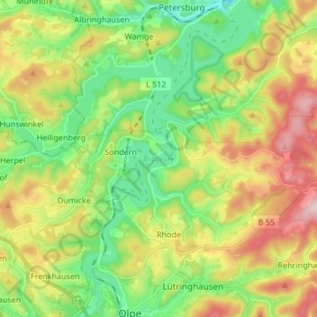
Name: Biggesee topographic map, elevation, terrain.
Average elevation: 387 m
Minimum elevation: 262 m
Maximum elevation: 581 m
Other topographic maps
Click on a map to view its topography, its elevation and its terrain.
Sondern
Deutschland > Nordrhein-Westfalen > Olpe > Sondern
Sondern, Olpe, Kreis Olpe, Nordrhein-Westfalen, 57462, Deutschland
Average elevation: 352 m