
Khairna topographic map
Interactive map
Click on the map to display elevation.
About this map
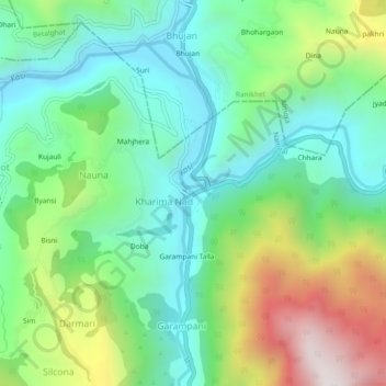
Name: Khairna topographic map, elevation, terrain.
Location: Khairna, Nainital, Uttarakhand, India (29.47555 79.45922 29.51555 79.49922)
Average elevation: 1,207 m
Minimum elevation: 862 m
Maximum elevation: 1,943 m