
Thank you for supporting this site ❤️
Make a donation
Make a donation
Daulagala topographic map
Click on the map to display elevation.
Thank you for supporting this site ❤️
Make a donation
Make a donation
About this map
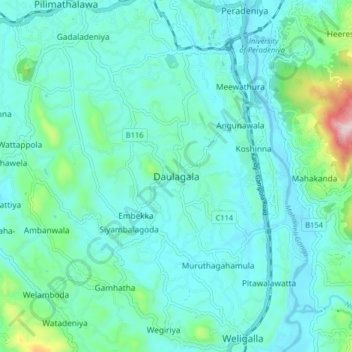
Name: Daulagala topographic map, elevation, terrain.
Location: Daulagala, Kandy District, Central Province, 20620, Sri Lanka (7.18651 80.53741 7.26651 80.61741)
Average elevation: 549 m
Minimum elevation: 466 m
Maximum elevation: 1,000 m
Thank you for supporting this site ❤️
Make a donation
Make a donation