
Shakiso topographic map
Click on the map to display elevation.
About this map
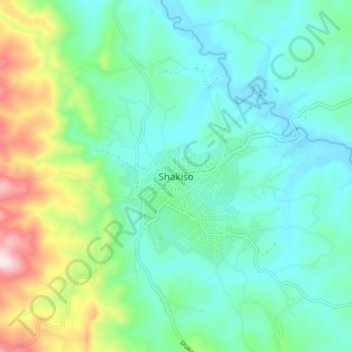
Name: Shakiso topographic map, elevation, terrain.
Location: Shakiso, Guji, Oromia Region, Ethiopia (5.73468 38.86285 5.81468 38.94285)
Average elevation: 1,765 m
Minimum elevation: 1,628 m
Maximum elevation: 2,187 m