
Thank you for supporting this site ❤️
Make a donation
Make a donation
San Antolín topographic map
Click on the map to display elevation.
Thank you for supporting this site ❤️
Make a donation
Make a donation
About this map
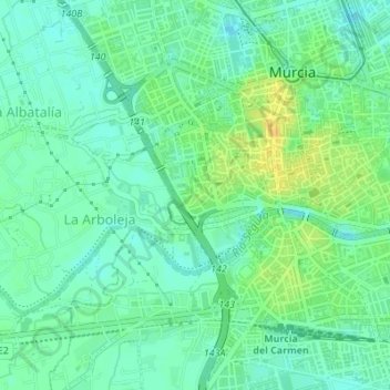
Name: San Antolín topographic map, elevation, terrain.
Location: San Antolín, Murcia, Área Metropolitana de Murcia, España (37.98148 -1.14208 37.98620 -1.13386)
Average elevation: 48 m
Minimum elevation: 38 m
Maximum elevation: 63 m
Thank you for supporting this site ❤️
Make a donation
Make a donation
Other topographic maps
Click on a map to view its topography, its elevation and its terrain.