
Thank you for supporting this site ❤️
Make a donation
Make a donation
Thammenhain topographic map
Click on the map to display elevation.
Thank you for supporting this site ❤️
Make a donation
Make a donation
About this map
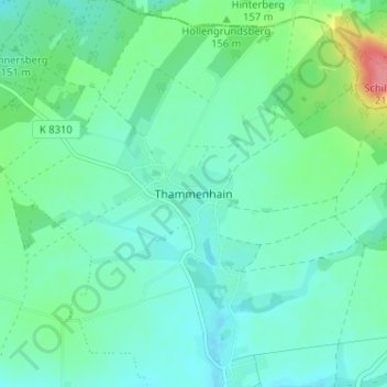
Name: Thammenhain topographic map, elevation, terrain.
Location: Thammenhain, Lossatal, Landkreis Leipzig, Sachsen, Deutschland (51.40837 12.83745 51.44837 12.87745)
Average elevation: 148 m
Minimum elevation: 130 m
Maximum elevation: 212 m
Thank you for supporting this site ❤️
Make a donation
Make a donation
Other topographic maps
Click on a map to view its topography, its elevation and its terrain.