
Parad topographic map
Click on the map to display elevation.
About this map
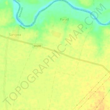
Name: Parad topographic map, elevation, terrain.
Location: Parad, Murtijapur, Akola, Maharashtra, India (20.81837 77.25346 20.85372 77.28172)
Average elevation: 273 m
Minimum elevation: 255 m
Maximum elevation: 282 m