
Thank you for supporting this site ❤️
Make a donation
Make a donation
Arch topographic map
Click on the map to display elevation.
Thank you for supporting this site ❤️
Make a donation
Make a donation
About this map
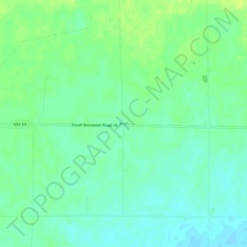
Name: Arch topographic map, elevation, terrain.
Location: Arch, Roosevelt County, New Mexico, United States (34.09359 -103.16290 34.13359 -103.12290)
Average elevation: 1,198 m
Minimum elevation: 1,191 m
Maximum elevation: 1,206 m
Thank you for supporting this site ❤️
Make a donation
Make a donation
Other topographic maps
Click on a map to view its topography, its elevation and its terrain.