
Moro topographic map
Interactive map
Click on the map to display elevation.
About this map
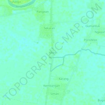
Name: Moro topographic map, elevation, terrain.
Location: Moro, Lamongan, Oost-Java, Jawa, Indonesië (-7.05094 112.26146 -7.01094 112.30146)
Average elevation: 5 m
Minimum elevation: 1 m
Maximum elevation: 11 m
Other topographic maps
Click on a map to view its topography, its elevation and its terrain.