
Thank you for supporting this site ❤️
Make a donation
Make a donation
Waikeria topographic map
Click on the map to display elevation.
Thank you for supporting this site ❤️
Make a donation
Make a donation
About this map
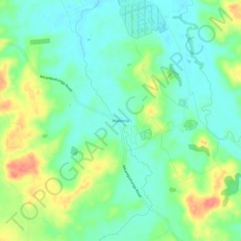
Name: Waikeria topographic map, elevation, terrain.
Location: Waikeria, Otorohanga District, Waikato, 3873, New Zealand (-38.13889 175.36252 -38.09889 175.40252)
Average elevation: 66 m
Minimum elevation: 41 m
Maximum elevation: 116 m
Thank you for supporting this site ❤️
Make a donation
Make a donation