
Thank you for supporting this site ❤️
Make a donation
Make a donation
Ban Klang topographic map
Click on the map to display elevation.
Thank you for supporting this site ❤️
Make a donation
Make a donation
About this map
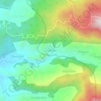
Name: Ban Klang topographic map, elevation, terrain.
Location: Ban Klang, Tha Pha, Mae Chaem, Chiang Mai Province, Thailand (18.48390 98.42431 18.52390 98.46431)
Average elevation: 899 m
Minimum elevation: 589 m
Maximum elevation: 1,494 m
Thank you for supporting this site ❤️
Make a donation
Make a donation