
Thank you for supporting this site ❤️
Make a donation
Make a donation
Vankusawade topographic map
Click on the map to display elevation.
Thank you for supporting this site ❤️
Make a donation
Make a donation
About this map
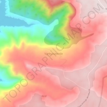
Name: Vankusawade topographic map, elevation, terrain.
Location: Vankusawade, Patan, Satara, Maharashtra, India (17.49567 73.80591 17.53567 73.84591)
Average elevation: 967 m
Minimum elevation: 638 m
Maximum elevation: 1,144 m
Thank you for supporting this site ❤️
Make a donation
Make a donation