
Thank you for supporting this site ❤️
Make a donation
Make a donation
Tamia topographic map
Click on the map to display elevation.
Thank you for supporting this site ❤️
Make a donation
Make a donation
About this map
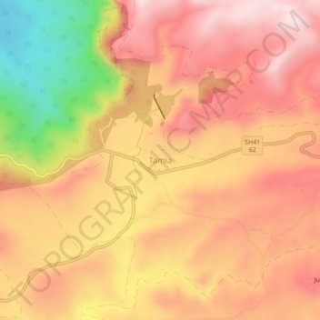
Name: Tamia topographic map, elevation, terrain.
Location: Tamia, Tamia Tahsil, Chhindwara, Madhya Pradesh, 480559, India (22.32362 78.65082 22.36362 78.69082)
Average elevation: 935 m
Minimum elevation: 623 m
Maximum elevation: 1,115 m
Thank you for supporting this site ❤️
Make a donation
Make a donation
Other topographic maps
Click on a map to view its topography, its elevation and its terrain.