
Thank you for supporting this site ❤️
Make a donation
Make a donation
North Lenox topographic map
Click on the map to display elevation.
Thank you for supporting this site ❤️
Make a donation
Make a donation
About this map
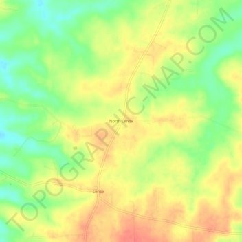
Name: North Lenox topographic map, elevation, terrain.
Location: North Lenox, Dent County, Missouri, 65541, United States (37.64476 -91.77654 37.68476 -91.73654)
Average elevation: 379 m
Minimum elevation: 349 m
Maximum elevation: 404 m
Thank you for supporting this site ❤️
Make a donation
Make a donation
Other topographic maps
Click on a map to view its topography, its elevation and its terrain.