
Olavakkode topographic map
Click on the map to display elevation.
About this map
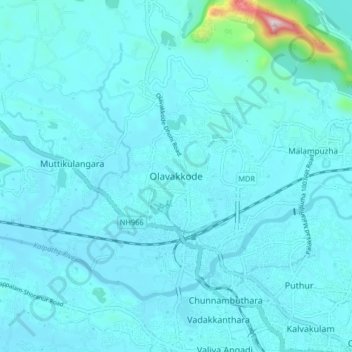
Name: Olavakkode topographic map, elevation, terrain.
Location: Olavakkode, Palakkad, Kerala, 678009, India (10.77332 76.59351 10.85332 76.67351)
Average elevation: 105 m
Minimum elevation: 60 m
Maximum elevation: 675 m