
Thank you for supporting this site ❤️
Make a donation
Make a donation
Rajnagar Extension topographic map
Click on the map to display elevation.
Thank you for supporting this site ❤️
Make a donation
Make a donation
About this map
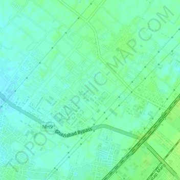
Name: Rajnagar Extension topographic map, elevation, terrain.
Location: Rajnagar Extension, Ghaziabad, Uttar Pradesh, 201017, India (28.69359 77.42327 28.71359 77.44327)
Average elevation: 214 m
Minimum elevation: 209 m
Maximum elevation: 219 m
Thank you for supporting this site ❤️
Make a donation
Make a donation
Other topographic maps
Click on a map to view its topography, its elevation and its terrain.