
Thank you for supporting this site ❤️
Make a donation
Make a donation
Chagford topographic map
Click on the map to display elevation.
Thank you for supporting this site ❤️
Make a donation
Make a donation
About this map
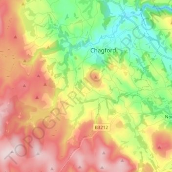
Name: Chagford topographic map, elevation, terrain.
Location: Chagford, West Devon, Devon, England, United Kingdom (50.61428 -3.90015 50.69718 -3.79720)
Average elevation: 293 m
Minimum elevation: 117 m
Maximum elevation: 508 m
Thank you for supporting this site ❤️
Make a donation
Make a donation