
城郊乡 topographic map
Interactive map
Click on the map to display elevation.
About this map
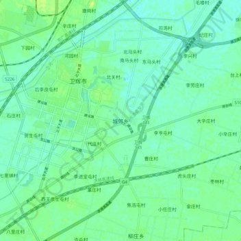
Name: 城郊乡 topographic map, elevation, terrain.
Location: 城郊乡, Weihui, 新乡市, Henan, Chine (35.35933 114.04064 35.43933 114.12064)
Average elevation: 71 m
Minimum elevation: 65 m
Maximum elevation: 79 m