
Thank you for supporting this site ❤️
Make a donation
Make a donation
Dolna Kula topographic map
Click on the map to display elevation.
Thank you for supporting this site ❤️
Make a donation
Make a donation
About this map
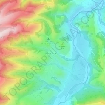
Name: Dolna Kula topographic map, elevation, terrain.
Location: Dolna Kula, Krumovgrad, Kardzhali, Bulgaria (41.53919 25.62158 41.57919 25.66158)
Average elevation: 327 m
Minimum elevation: 165 m
Maximum elevation: 640 m
Thank you for supporting this site ❤️
Make a donation
Make a donation
Other topographic maps
Click on a map to view its topography, its elevation and its terrain.