
Thank you for supporting this site ❤️
Make a donation
Make a donation
Illa topographic map
Click on the map to display elevation.
Thank you for supporting this site ❤️
Make a donation
Make a donation
About this map
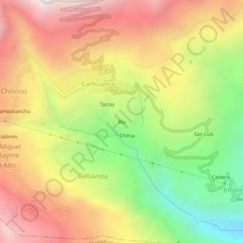
Name: Illa topographic map, elevation, terrain.
Location: Illa, Bellavista, Carhuanca, Vilcas Huamán, Ayacucho, Perú (-13.76868 -73.80355 -13.72868 -73.76355)
Average elevation: 2,955 m
Minimum elevation: 2,202 m
Maximum elevation: 3,651 m
Thank you for supporting this site ❤️
Make a donation
Make a donation