
Thank you for supporting this site ❤️
Make a donation
Make a donation
Holk topographic map
Click on the map to display elevation.
Thank you for supporting this site ❤️
Make a donation
Make a donation
About this map
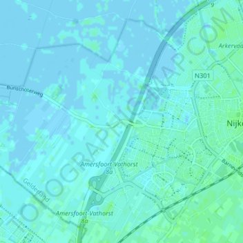
Name: Holk topographic map, elevation, terrain.
Location: Holk, Nijkerk, Gelderland, Nederland, 3861 PG, Nederland (52.20201 5.43056 52.24201 5.47056)
Average elevation: 2 m
Minimum elevation: -6 m
Maximum elevation: 6 m
Thank you for supporting this site ❤️
Make a donation
Make a donation