
Thank you for supporting this site ❤️
Make a donation
Make a donation
Vilgert topographic map
Click on the map to display elevation.
Thank you for supporting this site ❤️
Make a donation
Make a donation
About this map
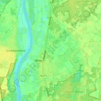
Name: Vilgert topographic map, elevation, terrain.
Location: Vilgert, Velden, Venlo, Limburg, Nederland, 5941 DD, Nederland (51.39950 6.15066 51.43950 6.19066)
Average elevation: 21 m
Minimum elevation: 11 m
Maximum elevation: 29 m
Thank you for supporting this site ❤️
Make a donation
Make a donation