
Thank you for supporting this site ❤️
Make a donation
Make a donation
Sindangjaya topographic map
Click on the map to display elevation.
Thank you for supporting this site ❤️
Make a donation
Make a donation
About this map
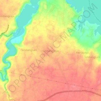
Name: Sindangjaya topographic map, elevation, terrain.
Location: Sindangjaya, Cianjur, West Java, Java, 63282, Indonesia (-6.81153 107.24866 -6.77153 107.28866)
Average elevation: 250 m
Minimum elevation: 206 m
Maximum elevation: 275 m
Thank you for supporting this site ❤️
Make a donation
Make a donation
Other topographic maps
Click on a map to view its topography, its elevation and its terrain.