
Las Auras topographic map
Interactive map
Click on the map to display elevation.
About this map
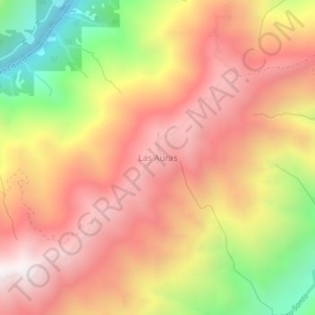
Name: Las Auras topographic map, elevation, terrain.
Location: Las Auras, Briceño, Norte, Antioquia, Kolumbien (7.17325 -75.53509 7.21325 -75.49509)
Average elevation: 1,017 m
Minimum elevation: 165 m
Maximum elevation: 1,606 m