
Thank you for supporting this site ❤️
Make a donation
Make a donation
Ruine Neuburg topographic map
Click on the map to display elevation.
Thank you for supporting this site ❤️
Make a donation
Make a donation
Ruine Neuburg
Die Neuburg oberhalb von Mammern im Schweizer Kanton Thurgau wurde in der Mitte des 13. Jahrhunderts durch Freiherr Ulrich III. von Altenklingen gebaut. Seit 1319 war sie als Lehnsgut des Klosters St. Gallen in wechselndem Besitz. 1690 erwarb sie das Kloster Rheinau. Die Höhenburg wurde jedoch 1745 abgebrochen. Heute sind jedoch noch ausgedehnte Ruinen mit Resten der grossen Ringmauer zu sehen. Von der Hauptburg sind die Fundamentreste des Bergfriedes erhalten.
Thank you for supporting this site ❤️
Make a donation
Make a donation
About this map
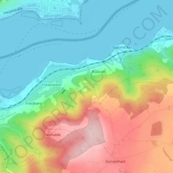
Name: Ruine Neuburg topographic map, elevation, terrain.
Average elevation: 486 m
Minimum elevation: 392 m
Maximum elevation: 648 m
Thank you for supporting this site ❤️
Make a donation
Make a donation