
Thank you for supporting this site ❤️
Make a donation
Make a donation
Moranchel topographic map
Click on the map to display elevation.
Thank you for supporting this site ❤️
Make a donation
Make a donation
About this map
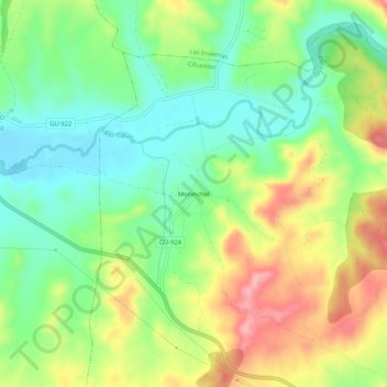
Name: Moranchel topographic map, elevation, terrain.
Location: Moranchel, Cifuentes, Guadalajara, Castilla-La Mancha, España (40.79760 -2.68762 40.83760 -2.64762)
Average elevation: 928 m
Minimum elevation: 875 m
Maximum elevation: 1,004 m
Thank you for supporting this site ❤️
Make a donation
Make a donation