
Thank you for supporting this site ❤️
Make a donation
Make a donation
Shwe Pyi Thar topographic map
Click on the map to display elevation.
Thank you for supporting this site ❤️
Make a donation
Make a donation
About this map
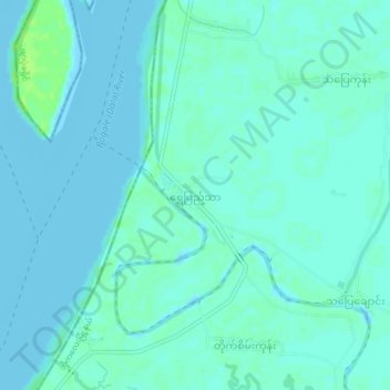
Name: Shwe Pyi Thar topographic map, elevation, terrain.
Location: Shwe Pyi Thar, Bogale Township, Pyapon, Ayeyarwady, Myanmar (15.93139 95.33822 15.97139 95.37822)
Average elevation: 3 m
Minimum elevation: -2 m
Maximum elevation: 10 m
Thank you for supporting this site ❤️
Make a donation
Make a donation