
Thank you for supporting this site ❤️
Make a donation
Make a donation
Workum topographic map
Click on the map to display elevation.
Thank you for supporting this site ❤️
Make a donation
Make a donation
About this map
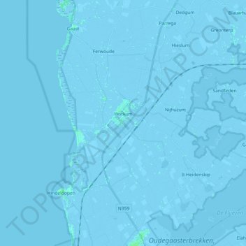
Name: Workum topographic map, elevation, terrain.
Location: Workum, Súdwest-Fryslân, Frisia, Netherlands (52.93484 5.29796 53.01255 5.48009)
Average elevation: -1 m
Minimum elevation: -6 m
Maximum elevation: 5 m
Thank you for supporting this site ❤️
Make a donation
Make a donation
Other topographic maps
Click on a map to view its topography, its elevation and its terrain.