
Thank you for supporting this site ❤️
Make a donation
Make a donation
Berasar topographic map
Click on the map to display elevation.
Thank you for supporting this site ❤️
Make a donation
Make a donation
About this map
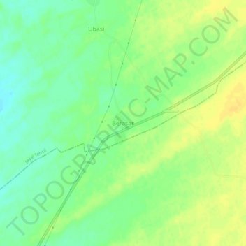
Name: Berasar topographic map, elevation, terrain.
Location: Berasar, Jayal Tehsil, Nagaur, Rajasthan, India (27.03704 74.19709 27.07704 74.23709)
Average elevation: 338 m
Minimum elevation: 325 m
Maximum elevation: 348 m
Thank you for supporting this site ❤️
Make a donation
Make a donation