
Thank you for supporting this site ❤️
Make a donation
Make a donation
Iden topographic map
Click on the map to display elevation.
Thank you for supporting this site ❤️
Make a donation
Make a donation
About this map
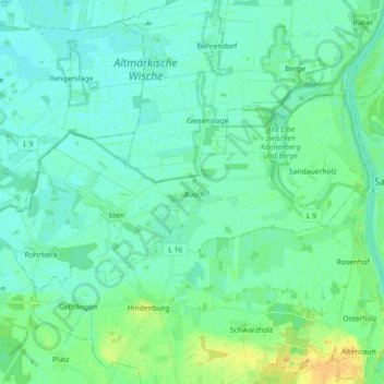
Name: Iden topographic map, elevation, terrain.
Location: Iden, Arneburg-Goldbeck, Stendal, Saxony-Anhalt, Germany (52.75860 11.85276 52.81305 12.03083)
Average elevation: 27 m
Minimum elevation: 20 m
Maximum elevation: 46 m
Thank you for supporting this site ❤️
Make a donation
Make a donation