
Syston topographic map
Click on the map to display elevation.
About this map
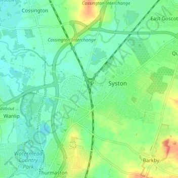
Name: Syston topographic map, elevation, terrain.
Location: Syston, Charnwood, Leicestershire, England, United Kingdom (52.68547 -1.12031 52.71044 -1.05387)
Average elevation: 57 m
Minimum elevation: 43 m
Maximum elevation: 87 m