
Thank you for supporting this site ❤️
Make a donation
Make a donation
Forst topographic map
Click on the map to display elevation.
Thank you for supporting this site ❤️
Make a donation
Make a donation
About this map
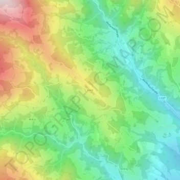
Name: Forst topographic map, elevation, terrain.
Location: Forst, Wolfsberg, Bezirk Wolfsberg, Kärnten, 9400, Österreich (46.84545 14.74481 46.88545 14.78481)
Average elevation: 826 m
Minimum elevation: 537 m
Maximum elevation: 1,301 m
Thank you for supporting this site ❤️
Make a donation
Make a donation
Other topographic maps
Click on a map to view its topography, its elevation and its terrain.