
Thank you for supporting this site ❤️
Make a donation
Make a donation
Letart topographic map
Click on the map to display elevation.
Thank you for supporting this site ❤️
Make a donation
Make a donation
About this map
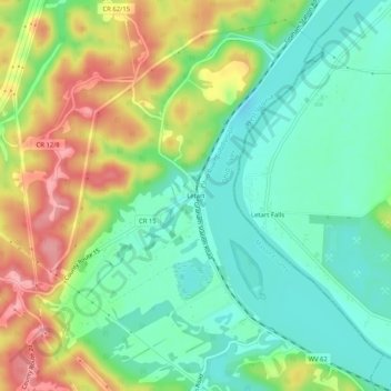
Name: Letart topographic map, elevation, terrain.
Location: Letart, Mason County, West Virginia, 25253, United States (38.87480 -81.95347 38.91480 -81.91347)
Average elevation: 204 m
Minimum elevation: 160 m
Maximum elevation: 277 m
Thank you for supporting this site ❤️
Make a donation
Make a donation
Other topographic maps
Click on a map to view its topography, its elevation and its terrain.