
Thank you for supporting this site ❤️
Make a donation
Make a donation
Mannheim topographic map
Click on the map to display elevation.
Thank you for supporting this site ❤️
Make a donation
Make a donation
About this map
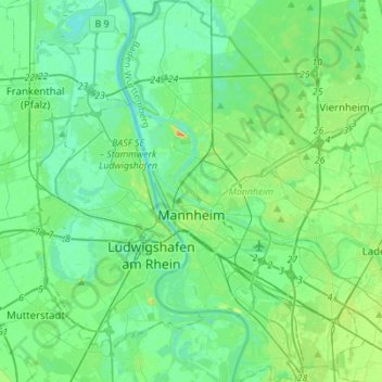
Name: Mannheim topographic map, elevation, terrain.
Location: Mannheim, Baden-Württemberg, Germany (49.41036 8.41416 49.59047 8.58999)
Average elevation: 97 m
Minimum elevation: 84 m
Maximum elevation: 140 m
Thank you for supporting this site ❤️
Make a donation
Make a donation