
Holzheim topographic map
Interactive map
Click on the map to display elevation.
About this map
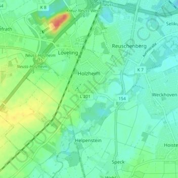
Name: Holzheim topographic map, elevation, terrain.
Average elevation: 49 m
Minimum elevation: 35 m
Maximum elevation: 84 m
Other topographic maps
Click on a map to view its topography, its elevation and its terrain.
Derikum
Allemagne > Rhénanie-du-Nord-Westphalie > Neuss > Derikum
Derikum, Neuss, Rhein-Kreis Neuss, Rhénanie-du-Nord-Westphalie, 41469, Allemagne
Average elevation: 39 m