
Lychen topographic map
Interactive map
Click on the map to display elevation.
About this map
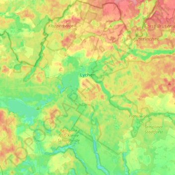
Name: Lychen topographic map, elevation, terrain.
Location: Lychen, Uckermark, Brandebourg, 17279, Allemagne (53.11012 13.23978 53.28107 13.42973)
Average elevation: 71 m
Minimum elevation: 41 m
Maximum elevation: 113 m