
Thank you for supporting this site ❤️
Make a donation
Make a donation
Borno State topographic map
Click on the map to display elevation.
Thank you for supporting this site ❤️
Make a donation
Make a donation
About this map
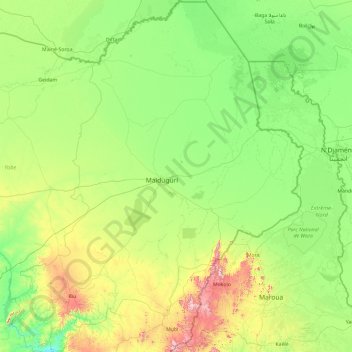
Name: Borno State topographic map, elevation, terrain.
Location: Borno State, Nigeria (10.02218 11.52934 13.72144 14.67801)
Average elevation: 360 m
Minimum elevation: 183 m
Maximum elevation: 1,330 m
Thank you for supporting this site ❤️
Make a donation
Make a donation
Other topographic maps
Click on a map to view its topography, its elevation and its terrain.