
烧脉 topographic map
Interactive map
Click on the map to display elevation.
About this map
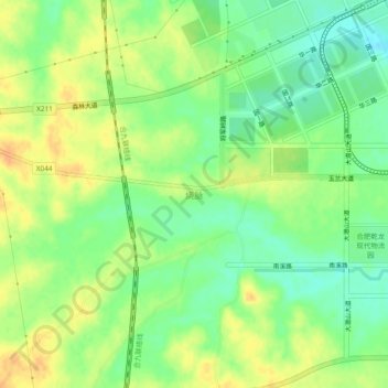
Name: 烧脉 topographic map, elevation, terrain.
Location: 烧脉, 合肥市, 安徽省, 中国 (31.73489 117.05072 31.77489 117.09072)
Average elevation: 35 m
Minimum elevation: 18 m
Maximum elevation: 52 m
Other topographic maps
Click on a map to view its topography, its elevation and its terrain.