
Thank you for supporting this site ❤️
Make a donation
Make a donation
Kumulur topographic map
Click on the map to display elevation.
Thank you for supporting this site ❤️
Make a donation
Make a donation
About this map
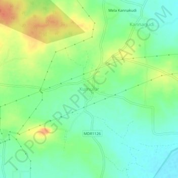
Name: Kumulur topographic map, elevation, terrain.
Location: Kumulur, Lalgudi, Tiruchirappalli, Tamil Nadu, 621712, India (10.93413 78.82373 10.97413 78.86373)
Average elevation: 80 m
Minimum elevation: 62 m
Maximum elevation: 107 m
Thank you for supporting this site ❤️
Make a donation
Make a donation
Other topographic maps
Click on a map to view its topography, its elevation and its terrain.