
Thank you for supporting this site ❤️
Make a donation
Make a donation
Khara topographic map
Click on the map to display elevation.
Thank you for supporting this site ❤️
Make a donation
Make a donation
About this map
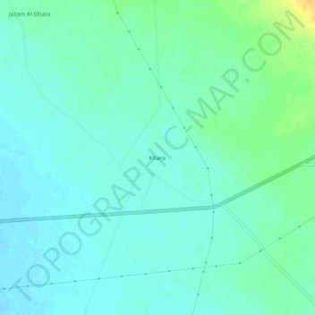
Name: Khara topographic map, elevation, terrain.
Location: Khara, Phalodi Tehsil, Phalodi, Rajasthan, India (27.00951 72.10736 27.04951 72.14736)
Average elevation: 246 m
Minimum elevation: 239 m
Maximum elevation: 265 m
Thank you for supporting this site ❤️
Make a donation
Make a donation